

How Do I Get Data from Remote Weather Stations?
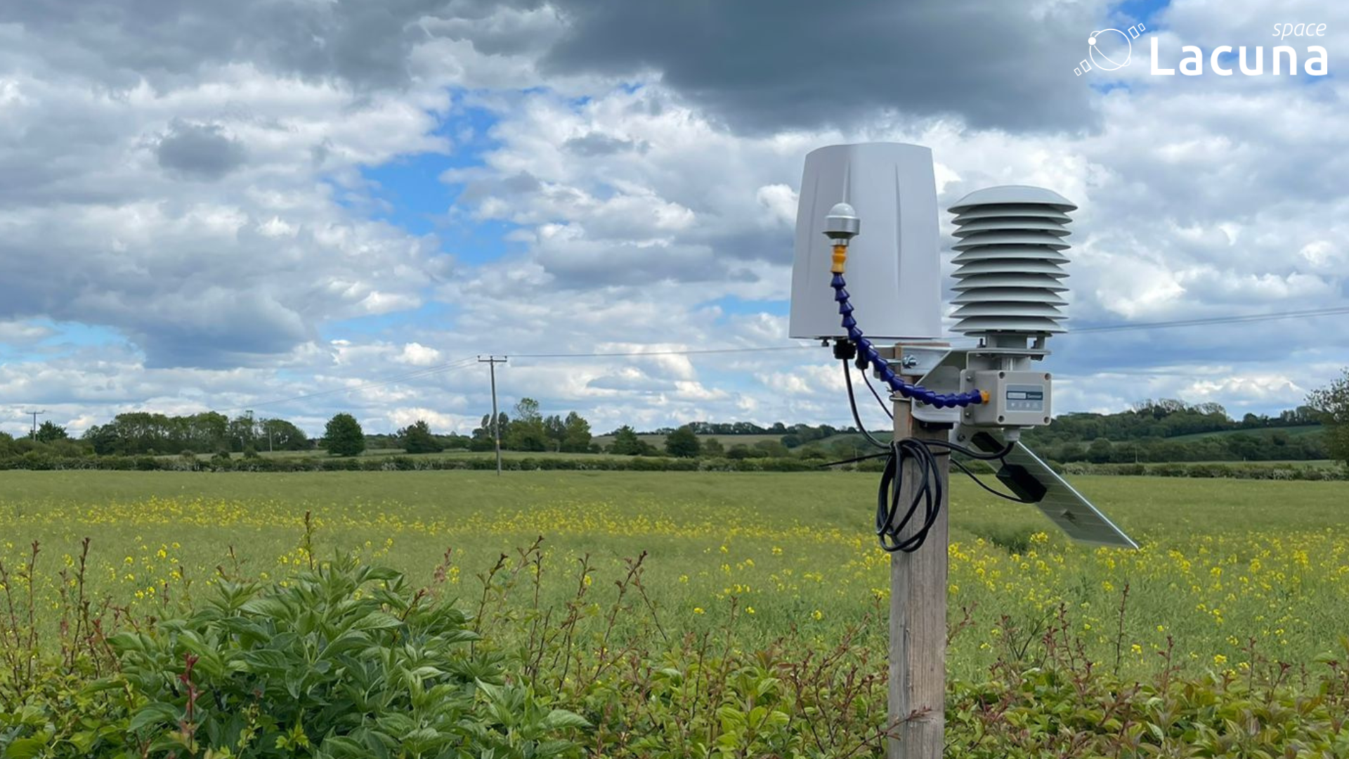
How do you get weather data from locations where there is no cellular signal?
It is a deceptively simple question, but it represents a massive hurdle for modern agriculture, environmental protection, and climate resilience programs. While open-source weather data and regional satellite models provide excellent macro-level forecasts, they miss the specific variations that dictate daily farm management. Agronomists and growers need precise, field-level metrics to execute reliable best practices, from building accurate irrigation plans to timing fertiliser applications. Applying nitrogen, for example, depends entirely on immediate soil conditions; if the ground is too dry, the soil cannot absorb it, rendering an expensive input useless.
When you need to deploy localised weather monitoring sensors far beyond the reach of the nearest cell tower, the lack of terrestrial infrastructure shouldn’t dictate where you can collect data. Yet, historically, the lack of reliable remote weather station connectivity has forced organisations to leave their most critical microclimates completely dark.
This is where Lacuna Space comes in. We provide an infrastructure-free, direct-to-satellite connectivity layer that bridges the gap between isolated field sensors and your data platform, allowing teams to connect the unconnectable.
The Logistics Behind the Dead Zones
For years, tracking environmental variables in isolated terrains meant accepting severe operational compromises. Standard cellular networks are built for populated areas, not geographical expanses. While global telecom infrastructure successfully reaches over 95% of the human population according to UN International Telecommunication Union data, it actually covers roughly 15% of the Earth’s total surface area according to research highlighted by the World Economic Forum.
Because networks are clustered around urban centers and transit corridors, they drop off rapidly in rugged topographies, deep forestry blocks, or expansive monoculture estates. If a monitoring site sits behind a ridge or in a remote valley, terrestrial signals simply vanish, leaving over half of the world’s land area as a geographic “not-spot.”
To bypass these cellular dead zones, organisations traditionally turned to legacy satellite communications. But these legacy systems introduce a completely different set of problems. They were engineered for high-bandwidth tasks, such as streaming video, broadband internet, or continuous industrial SCADA backhaul. Using an oversized satellite terminal to transmit a few numbers from a weather station means paying hundreds of pounds per month in connectivity fees for bandwidth you will never use.
Furthermore, high-bandwidth satellite terminals require significant power. This consumption forces field teams to install large solar panels and heavy lead-acid batteries. In harsh offshore or mountainous environments, these bulky setups become immediate liabilities. They require frequent, expensive maintenance trips to clean panels, fix wiring, and replace degraded batteries, making large-scale deployments a financial and practical challenge.
Small Data, Global Impact: Mapping Hidden Microclimates
Traditional remote sensing fails when it treats small sensor data like broadband traffic. A remote weather station does not need a high-speed connection; it simply needs to transmit tiny telemetry strings such as soil moisture, rainfall, temperature and wind speed once or twice a day.
When you treat these readings as small whispers from the wild rather than heavy data streams, the infrastructure requirements change. It eliminates the need for bulky solar panels and heavy lead-acid batteries, allowing sensors to run on small internal cells for years. This ultra-low-power approach dramatically slashes hardware and maintenance costs, shifting the economics entirely. Instead of funding a handful of expensive installations, field teams can deploy hundreds of low-cost stations across an entire region.
This granular visibility alters how agricultural estates and forestry managers protect their assets. Large-scale operations contain massive environmental variations dictated by elevation and terrain. In mountainous regions where coffee and cocoa thrive, or in deep valleys where vineyards face sudden frost risks, regional weather models miss the field-level realities. Localized data allows growers to map these isolated microclimates individually. Managers can track exact dew points to manage disease, monitor soil moisture to time fertilizer applications perfectly, and check real-time wind thresholds to prevent chemical drift. From tracking wildfire risks in remote forestry plantations to validating yields on trial farms, direct-to-satellite telemetry ensures critical environmental shifts are caught in real time.
The Lacuna Approach: Connecting the Unconnectable
Lacuna Space provides the ultra-low-power, direct-to-satellite connectivity layer that bridges the gap between isolated field sensors and your data platform. Our low Earth orbit (LEO) satellite constellation acts as a floating gateway in space, specifically tuned to listen for small whispers from the wild sent by devices on the ground.
Our architecture is built entirely on open LoRaWAN standards optimised for small sensor payloads. Because our network connects directly from the device to our satellites, your deployments remain completely infrastructure-free. There is no need to install local terrestrial gateways, configure complex mesh networks, or worry about regional cellular provider boundaries.
Our direct-to-satellite architecture is entirely sensor-agnostic, meaning it fits cleanly into the hardware ecosystems that field teams already depend on. Because environmental demands vary wildly between a frozen alpine peak and a lowland vineyard, different weather stations are designed to serve distinct use cases across the market.
For high-altitude research or public safety networks where mechanical components easily freeze or break, solid-state stations like the METER Group ATMOS series capture extensive environmental datasets with zero moving parts. On the other hand, commercial agricultural operators looking to map dozens of shifting microclimates often favor compact, highly integrated options like the Seeed Studio SenseCAP series, which allow for rapid field installation.
By acting as an infrastructure-free connectivity layer, Lacuna enables these diverse stations to send their data directly to our low Earth orbit satellites. The sensor’s radio remains in a deep-sleep state for the vast majority of the day, waking up only to transmit its bundled data packets. Because these transmissions last only a fraction of a second, the power draw is incredibly low.
This specific engineering approach delivers our two most critical field advantages: multi-year battery life from small, internal power cells, and a low cost structure that eliminates the premium fees of legacy satellite networks. Instead of worrying about cellular blind spots or heavy power setups, organizations can choose the exact sensor hardware their project requires and deploy it wherever the data is needed.
Scaling Global Monitoring
Food security, water conservation and environmental protection require comprehensive, uninterrupted data. The world cannot manage what it cannot measure and leaving remote regions unmonitored because of a missing cellular signal is an artificial limitation. Low-power satellite IoT makes continuous environmental telemetry economically viable and simple to execute anywhere on the planet.
Ready to connect your next environmental project? Whether you’re looking into smart beehives or remote soil moisture sensing, Lacuna Space is here to help you scale.
About Lacuna Space
Lacuna Space delivers direct-to-device IoT connectivity service using ultra-low-power protocols optimised for small, infrequent messages. Built on its proprietary LoneWhisper® technology, Lacuna Space’s network supports remote sensors across agriculture, environment, utilities, and the oceans — enabling reliable global coverage with no ground infrastructure.
Lacuna Space operates from offices in the UK and the Netherlands, with support from the UK Space Agency and the European Space Agency.