

Satellite river monitoring: what the Teifi is showing and what comes next
Darllenwch yr erthygl hon yn Gymraeg (Read this article in Welsh)
Ceredigion is live on the Teifi. Carmarthenshire is going to be deployed on the Tywi soon. Here is what satellite-connected river monitoring looks like in practice.
Satellite river monitoring was not a realistic option for most Welsh councils two years ago. The River Teifi and River Tywi run through deep, remote valleys where cellular coverage disappears and conventional IoT monitoring fails. In the winter of 2024/25 we deployed STREAMS across the Teifi with Ceredigion County Council, connected the sensors via Lacuna’s satellite network, and hourly water quality readings began arriving from sites no network had ever reached.
Within months, three departments inside Ceredigion Council were using the data: Planning, Environment, and the Nutrient Management Board. Not trialling it. Using it.
New to STREAMS? Read our first article here for the origin story.
What satellite-connected river monitoring looks like in practice
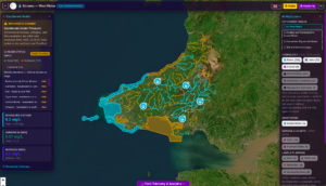
The STREAMS catchment dashboard, currently in development with Aberystwyth University and partner councils. Shown: real parameter readings from an active sensor node — dissolved oxygen at 5.1 mg/L (safe threshold: >8.0 mg/L), ammonium at 0.97 mg/L (toxic threshold: >1.0 mg/L), nitrates at 1.5 mg/L (normal: <5.0 mg/L) — alongside WFD river status across 227 water bodies, five active sensor nodes, CSO locations, and farm and land use boundaries across West Wales.
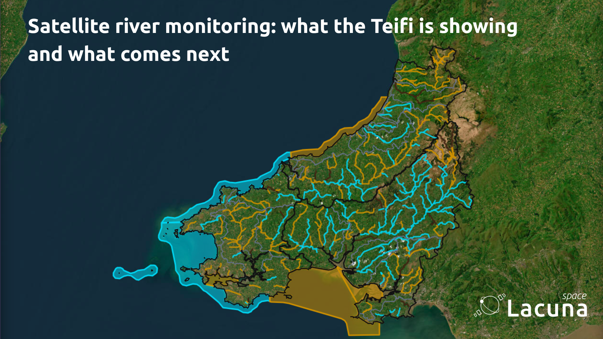
The dashboard integrates STREAMS sensor readings with NRW’s Water Framework Directive classifications, CSO and treatment works locations, and farm and land use boundaries — into a single queryable view. Of the 227 monitored water bodies in the West Wales catchment, 93 are rated Good, 111 Moderate, and 23 Poor or Bad. Six river bodies are flagged for immediate attention, named and located on the map.
A parameter spike at a sensor node, cross-referenced against the 15 CSO locations and treatment works visible in the same view, and set against flow direction data for that reach, gives a catchment manager the spatial and temporal context needed to act. That is what distinguishes continuous monitoring from a dataset — it is an operational tool.
Why STREAMS works where other approaches don’t
Deploy anywhere, no infrastructure required
Most environmental IoT monitoring depends on cellular connectivity — which means it works where networks already exist and fails everywhere else. For Welsh river catchments, and many across England and Scotland, that is a fundamental constraint. The rivers that need monitoring most are precisely the ones running through terrain cellular networks do not serve.
STREAMS removes that constraint entirely. Each sensor transmits via Lacuna’s low-power LoRa satellite protocol, which requires only intermittent sky visibility to function. No cellular signal, no mast, no fixed infrastructure of any kind. A sensor in a narrow valley with no road access and no signal transmits as reliably as one in an accessible, well-connected location. That is what makes the system genuinely deployable at catchment scale — not just at the convenient points, but across the full length of a river system.
The approach is also infinitely repeatable. Once a council or agency has commissioned a deployment, expanding the network to additional sites involves no new infrastructure decisions. Each additional sensor connects to the same satellite layer. The same dashboard. The same data pipeline. There are no per-site cellular contracts, no coverage surveys, no dependency on third-party network availability. The architecture scales without friction.
Low friction from deployment to data
The Ceredigion deployment demonstrates this in practice, and Carmarthenshire is following the same model on the Tywi. The network is expanding across catchments and into multiple council departments without requiring specialist contractors at each site. Sensors are designed for straightforward field installation which is rugged enough to withstand flood conditions and debris, discreet enough to reduce vandalism risk, and operable by locally-based teams who know the terrain.
That is what makes STREAMS a realistic infrastructure investment for councils operating within normal budgets. Each additional site extends a genuinely novel satellite-connected monitoring network, without the cost and complexity that has historically made catchment-scale deployment impractical. New infrastructure, without the traditional barriers to building it.
Long-term deployment with minimal maintenance
River monitoring only generates useful data if it is continuous. A sensor that requires frequent site visits to service, calibrate, or replace batteries undermines the baseline it is trying to build. STREAMS sensors are designed for extended field deployment with low maintenance requirements, operating on battery power without the need for external power infrastructure at each site.
Field maintenance and sensor calibration is handled by Aberystwyth University’s locally-based team — engineers and scientists who are already operating in the catchments where the sensors are deployed. When a site needs attention, response is measured in minutes. The combination of low hardware maintenance demand and local expert support means the monitoring network stays operational, and the data record stays uninterrupted.
What the data enables
Planning now has a continuous nutrient baseline where it previously relied on periodic surveys. Under nutrient neutrality requirements, new developments must demonstrate no net increase in nutrient loads to designated rivers. A continuous record stratified by season, weather event, and flow rate provides the defensible baseline that point-in-time assessments cannot.
Ceredigion’s Environment department can now begin to identify where in a catchment water quality is changing and why. If ammonium levels rise at one sensor but the sensor further upstream shows no equivalent change, the source lies somewhere between those two points. Correlated against CSO discharge records and rainfall data, that narrows the investigation considerably.
The Nutrient Management Board now has the evidence infrastructure to support nutrient credit validation. Credits require quantified, verified reductions in nutrient loads — measured before and after an intervention, with data robust enough for regulatory scrutiny. Hourly multi-parameter readings, validated against physical water samples by Aberystwyth University’s laboratory team, meet that standard.
For farmers and land managers, the data works in their favour. When a rainfall event passes without a corresponding ammonium or nitrate spike at a downstream sensor, that is a measurable, attributable outcome — evidence that improved land management is making a quantifiable difference.
“The ability to capture consistent and accurate measurements in hard-to-reach areas has unlocked a new level of granular environmental insight. The data has already been used by several departments within the Council, including Planning, Environment, and the Nutrient Management Board, informing both short-term interventions and long-term planning efforts.”
The scale of what that means for Wales is significant:
“Wales alone has over 33,000 km of rivers and streams, many of which pass through rural or isolated terrain. If even 1,000 critical monitoring points were equipped with satellite-connected IoT sensors — each delivering hourly data — it would result in over 8.7 million individual data points per year. This volume of actionable data is currently impossible to achieve with existing infrastructure.”
— Ceredigion County Council, Letter of Support, 2025
Deployment and maintenance
Commissioning STREAMS is designed to be straightforward. Once a council or agency defines what they need to measure and where, we configure the sensors to those requirements.The hardware arrives ready to deploy — lab-grade certified sensors, developed and validated through a rigorous multi-stage process, with no additional setup or calibration required on the commissioner’s side.
Field maintenance is carried out by locally-based engineers. Because the team is based in Wales, close to the deployment sites, response times are a fraction of what a remotely-contracted specialist would require. For a network where data continuity underpins planning decisions and credit validation, that proximity matters.
Royal Welsh Show — Tuesday 21 July
We will be at the Royal Welsh Show and our talk is on Tuesday 21 July at the Aberystwyth University Pavilion, Stand 584-G.
If you want to talk about river monitoring, nutrient management, nature credit schemes, or catchment data infrastructure, come and find us. Sign up here
Lacuna Space is here to help you scale.
About Lacuna Space
Lacuna Space delivers direct-to-device IoT connectivity service using ultra-low-power protocols optimised for small, infrequent messages. Built on its proprietary LoneWhisper® technology, Lacuna Space’s network supports remote sensors across agriculture, environment, utilities, and the oceans — enabling reliable global coverage with no ground infrastructure.
Lacuna Space operates from offices in the UK and the Netherlands, with support from the UK Space Agency and the European Space Agency.